Sam Wagner · 12 October 2026
Grove's Underground Mycelium Networks Mapped Through Resident Soil Sampling Drives
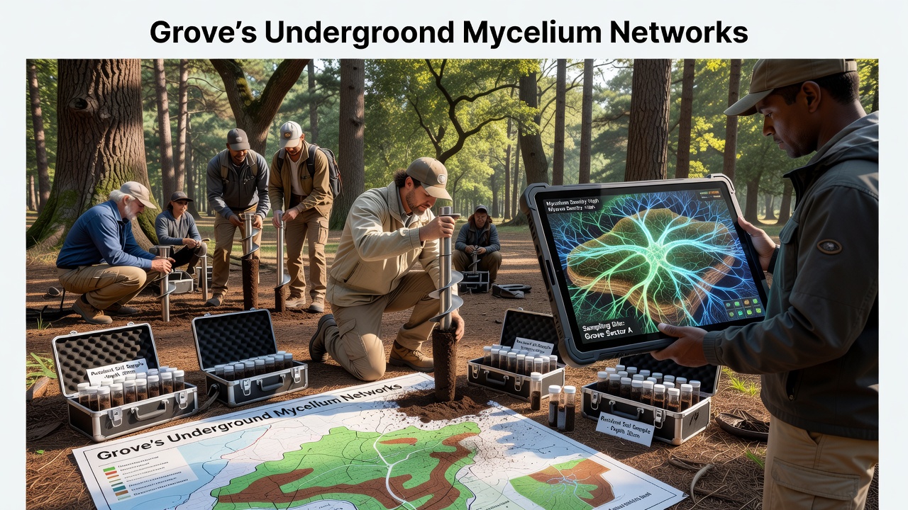
Residents across the grove have joined organized soil sampling drives that map underground mycelium networks through systematic collection and analysis of earth samples from multiple sites, and these efforts continue to expand the understanding of fungal structures beneath the surface. Data gathered during the drives shows how mycelium forms extensive connections between tree roots and soil layers, while researchers process the samples to identify species diversity and network density in different zones.
Project Background and Scope
The initiative began with local volunteers coordinating collection points at established intervals throughout the woodland areas, and participants follow standardized protocols that specify depth, volume, and labeling for each sample taken. In October 2026 the most recent drive collected over 400 samples from previously unsurveyed sections, which allowed the mapping team to extend coverage across an additional 12 hectares of terrain. Observers note that the project integrates citizen contributions with laboratory verification, creating a dataset that grows more detailed with each round of activity.
Soil samples undergo DNA sequencing at regional facilities, and results feed into digital models that visualize mycelium pathways as interconnected webs rather than isolated patches. Figures from the project indicate that certain fungal species dominate central grove zones while others appear more frequently near water sources or disturbed edges, yet the overall pattern reveals continuity across boundaries that surface observations alone cannot detect.
Methods Used in Sampling Drives
Volunteers receive training on sterile collection techniques before each drive, and they use GPS-tagged containers to record exact locations along with notes on surface vegetation and recent weather conditions. Teams divide the grove into grids, and each grid receives multiple subsamples that combine into composite units for analysis. This approach reduces variability while still capturing spatial differences across short distances, and it produces consistent data that supports repeated mapping over time.
Processing begins with sieving and homogenization at the collection center, after which portions travel to partner labs for microscopic examination and genetic profiling. Researchers cross-reference findings with existing databases from the US Forest Service to confirm species identifications, and they incorporate climate records to examine how seasonal shifts affect network visibility in the samples.
Key Findings from Recent Drives
Analysis of the October 2026 samples revealed several continuous mycelium corridors that link older tree clusters with younger regeneration areas, and these corridors appear to follow subtle elevation changes rather than random paths. Data shows higher fungal biomass near established root systems, while edge zones contain more fragmented networks that still maintain some connectivity through underground hyphae.
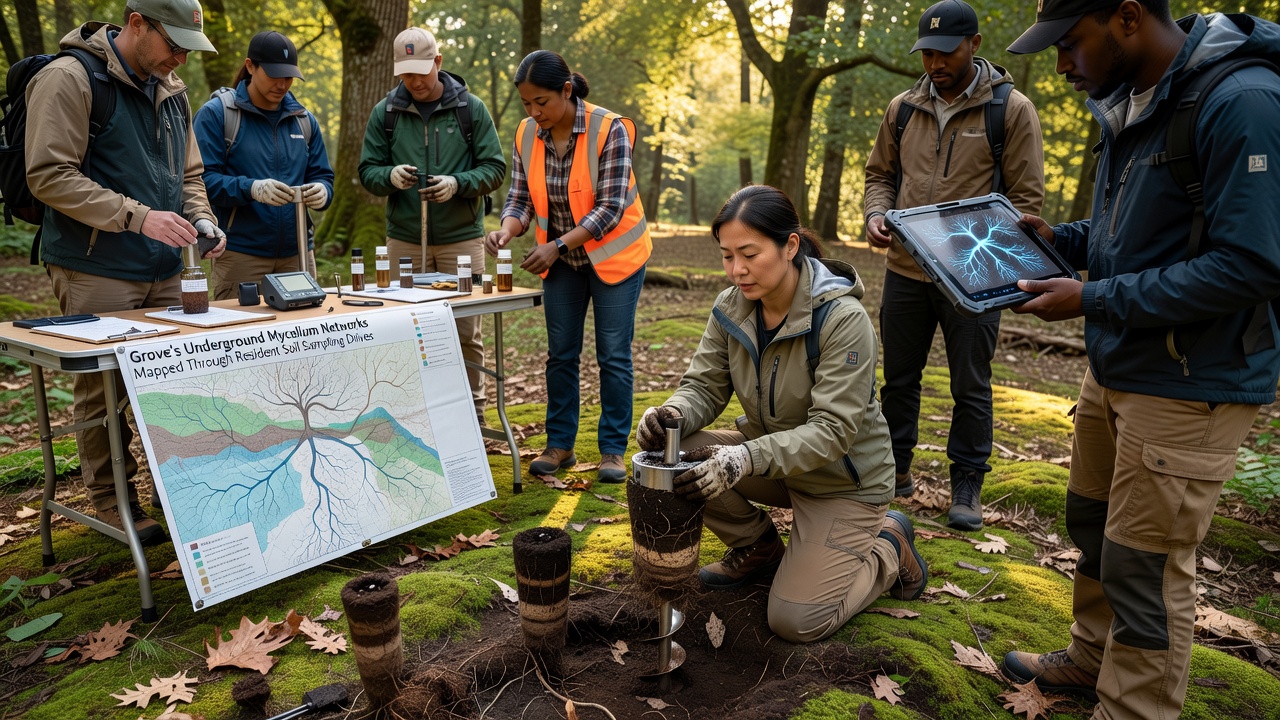
Comparisons with earlier collections demonstrate gradual expansion of certain networks over a three-year period, and researchers attribute part of this growth to reduced soil disturbance in protected sections. The models also highlight zones where mycelium density drops sharply, often corresponding to areas of past construction or heavy foot traffic, although some recovery appears underway where native plants have reestablished.
Additional data points from the drives include pH levels, organic matter content, and moisture retention measured at each site, and these variables correlate with the presence of specific mycelium types in patterns that align with broader studies on forest soil biology. The combined dataset now covers more than 85 hectares, providing a baseline for tracking changes through future sampling rounds.
Community Participation and Data Sharing
Local residents contribute not only samples but also observational records of surface fungi fruiting bodies that appear seasonally, and these notes help validate the underground mapping results. Coordinators maintain an open-access portal where processed maps become available after verification, allowing anyone to examine network layouts by region or species group. Participation numbers have remained steady across multiple drives, with new volunteers joining each season as awareness spreads through community channels.
Training sessions emphasize consistency in collection methods, and returning participants often refine techniques that improve sample quality over time. The project maintains partnerships with nearby educational institutions that supply equipment and occasional on-site guidance, which helps sustain the quality of contributions from non-professional collectors.
Broader Context and Related Research
Findings from the grove align with observations reported in other woodland systems, including work conducted by CSIRO researchers in Australia on similar fungal mapping efforts. Those studies likewise demonstrate the value of repeated local sampling for revealing network resilience and response to environmental pressures, and the grove project applies comparable principles at a community scale.
Digital mapping tools used here combine spatial data with genetic markers to produce layered visualizations, and updates occur after each drive completes its analysis cycle. The approach supports long-term monitoring without requiring specialized equipment at every collection point, which keeps the process accessible to a wide range of participants.
Conclusion
The ongoing soil sampling drives continue to refine the map of underground mycelium networks in the grove, and the resulting dataset provides a resource for researchers and residents alike. Continued participation ensures that coverage expands and that temporal changes remain documented through consistent methods, while the integration of community-collected samples with laboratory analysis maintains scientific rigor across the project. As additional drives occur, the picture of these hidden networks grows clearer and more complete.