Viktor Krüger · 14 September 2026
Community Digital Archive Project Chronicles Decades of Woodland Transformations Through Resident Submissions
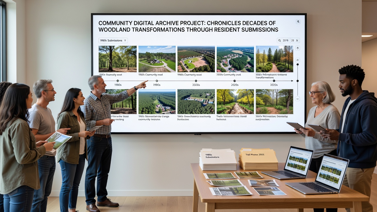
The Community Digital Archive Project has compiled decades of resident-submitted photographs, written accounts, and observational records that document shifts in local woodland areas. Submissions span from the early 1980s through the present and cover changes in tree density, understory vegetation, and wildlife patterns across multiple sites. Project coordinators maintain a centralized digital platform where contributors upload materials with location details and dates, which allows researchers to cross-reference entries against satellite imagery and official forestry data.
Submission Process and Data Collection
Residents participate by uploading images that show specific locations at different times, along with notes on observed alterations such as canopy gaps or new growth after storms. The system tags each entry with geographic coordinates and timestamps, which creates searchable timelines for individual woodland patches. According to project guidelines, submissions undergo verification against public land records before integration into the main database, and this step helps maintain accuracy across the growing collection of over 4,200 entries.
Regular contributors include long-term residents who have tracked the same trails since the 1990s, while newer participants add perspectives from areas that underwent recent development. The archive accepts seasonal updates, which means spring bloom patterns can be compared directly with autumn leaf loss records from prior years. Data shows consistent increases in certain invasive species coverage since 2005, while native hardwood stands have displayed variable recovery rates following selective logging events in the 1990s.
Documented Woodland Changes Over Time
Analysis of the archive reveals measurable shifts in forest composition across the region. Early submissions from the 1980s depict denser undergrowth in areas now characterized by more open clearings, and later entries document the spread of edge habitats along expanding trail networks. Researchers cross-checked these visual records with United States Forest Service reports, which confirmed parallel trends in canopy reduction linked to both natural succession and human activity.
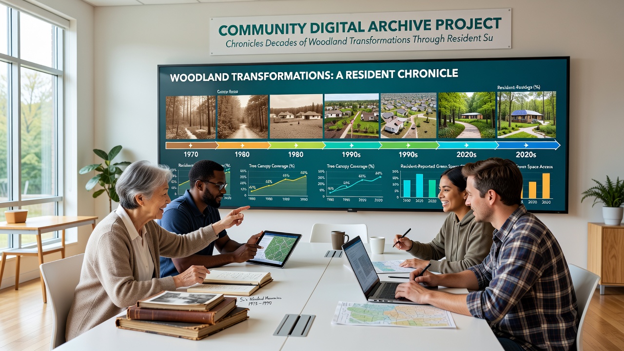
One series of photographs submitted by a single family covers the same hillside from 1987 to 2023 and illustrates gradual replacement of older conifers with mixed deciduous species. Additional records highlight the effects of periodic flooding events, including one in 2010 that altered stream banks and prompted new sediment deposition patterns visible in subsequent images. European Environment Agency studies on similar temperate woodlands provide comparative context, showing that regional climate variations have influenced growth rates in comparable ways across multiple continents.
Community Engagement and September 2026 Milestones
Monthly workshops allow participants to review aggregated data and contribute additional context to existing entries. These sessions focus on training residents in basic photo documentation techniques and metadata entry, which improves the consistency of future submissions. By September 2026 the project will mark its tenth anniversary with an expanded online exhibit that incorporates newly processed records from 2024 and 2025, alongside public access to interactive maps that layer resident observations over official vegetation surveys.
School groups have begun using the archive for local ecology units, and teachers integrate selected timelines into lessons on habitat succession. The platform also supports filtered searches by decade or species, which enables quick identification of long-term trends such as the gradual northward movement of certain shrub lines documented between 2000 and 2020. Coordinators report steady monthly uploads that continue to fill gaps in coverage for previously underrepresented woodland sections.
Conclusion
The archive continues to grow through ongoing resident contributions that add both historical depth and recent observations to the existing record. Project staff maintain the database and facilitate access for researchers who study woodland dynamics at local scales. As submissions accumulate through September 2026 and beyond, the collection provides an increasingly detailed view of transformations driven by natural processes and land management practices across the documented areas.